Introduction
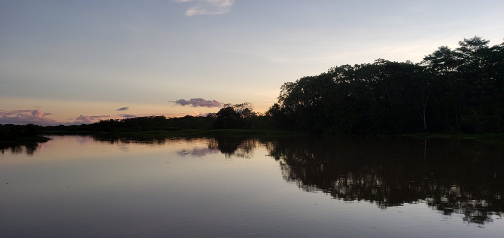
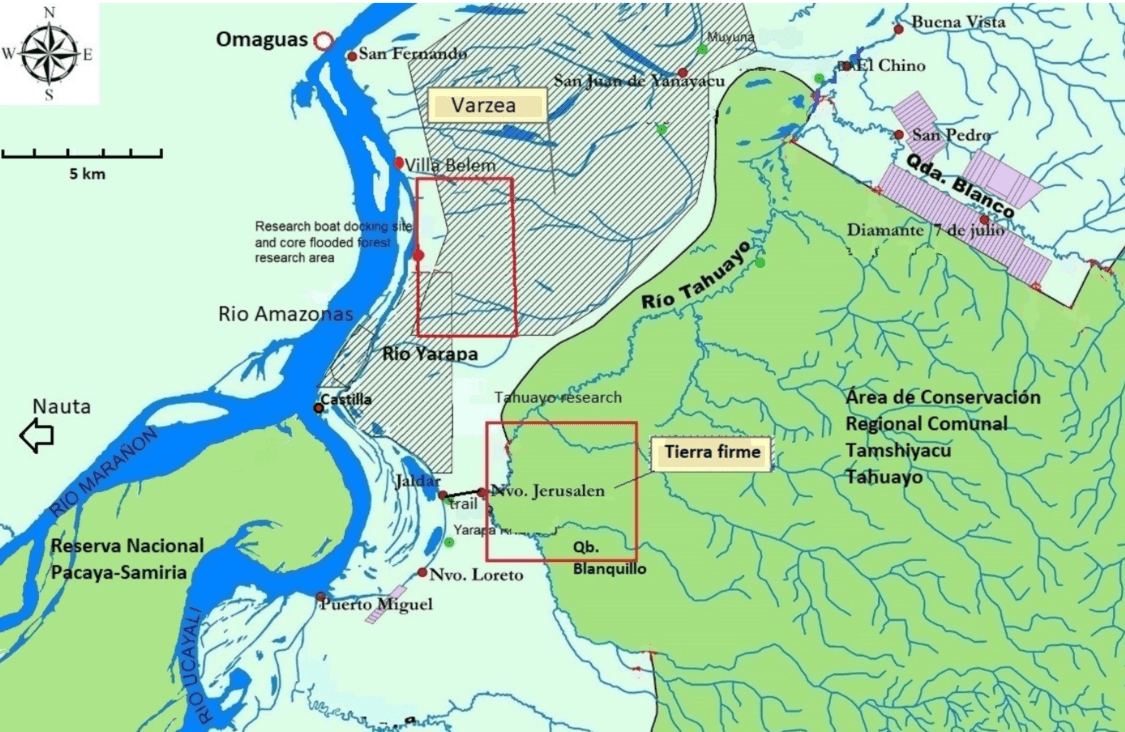
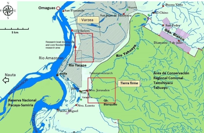
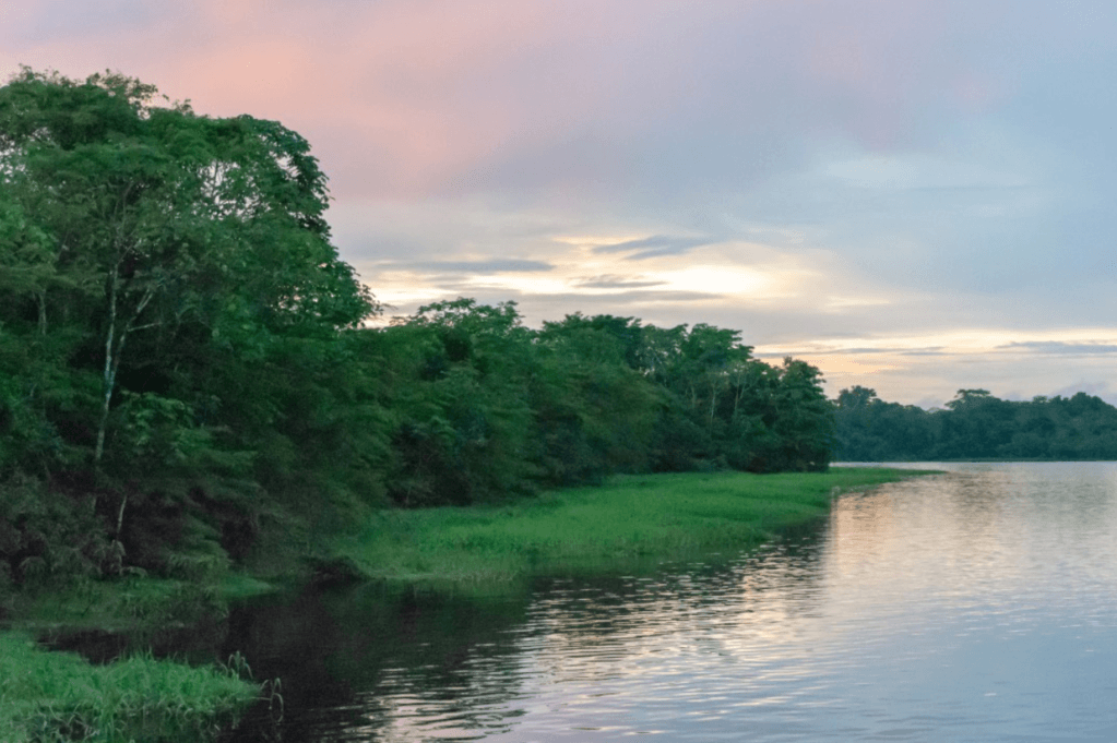
The Yarapa River Research Reserve is the focal study site of the Research Station and covers an area of 1,500 acres (600 hectares) of flooded forests. The Research Reserve is in the Lower Yarapa River basin located in the buffer zones of the Pacaya-Samiria National Reserve and the TamshiyacuTahuayo Regional Community Reserve. It forms part of the Marañon-Ucayali subsidence area of the Ucamara depression (Map) and is in the Samiria-Yavari protected area landscape in the Peruvian Amazon of Loreto. The Research Reserve is part of the largest block of várzea flooded forests in the western Amazon that extends over an area of 2 million hectares in the Loreto region.
The Yarapa River Research Reserve is run by Fundamazonia and managed by the Research Station. Studies are also conducted in the adjacent community lands through collaborations with the Indigenous communities. In addition, the Research Station conducts research in the upland tierra firme forests of the Blanquillo stream in the upper Tahuayo River basin.
Your participation in this research plays an important part in helping to conserve this area, and the information you collect will be used by the communitybased protected areas and Indigenous people to improve their conservation efforts.
.
.
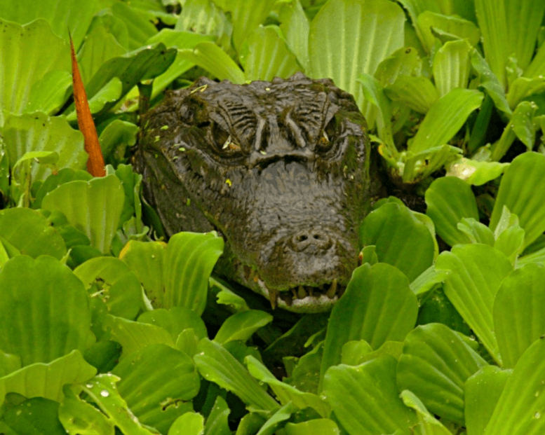
The Yarapa River, situated between Peru’s Pacaya-Samiria National Reserve and the Tamshiyacu-Tahuayo Community Reserve, is home to a wide array of wildlife, from pink river dolphins and caimans in the waters to monkeys and extraordinary birds in the canopy. However, recent climate fluctuations characterized by successive intensive floods and droughts are impacting the aquatic, terrestrial, and arboreal species in the flooded forests, which in turn is impacting the local people.
Droughts decrease fish, dolphin, caiman, and wading bird populations, and intense floods kill ground-dwelling terrestrial mammals such as peccaries, deer, large rodents, and edentates (Bodmer et al., 2018). This project’s long-term data sets and ongoing data collection are helping to show how community-based approaches conserve biodiversity in the face of these climatic fluctuations and support the livelihoods of Indigenous people (Mahabale et al., 2025).
Since 2006, the Amazon Riverboat Exploration project has worked to set up long-term programs to conserve biodiversity and to develop community-based conservation strategies to safeguard wildlife (Bodmer & Puertas 2007). We work together with the local people because they are the true guardians of the forest, and the information provided by our research can help them make appropriate decisions on how best to save the Amazon (Bodmer et al., 2020).
Community-based conservation was initiated by the project in the 1980s when it helped set up the first community reserve in the Peruvian Amazon, the Tamshiyacu-Tahuayo Community Reserve, which was used as a model to set new reserves and manage national reserves and Indigenous territories. Today, regional community reserves, community co-managed national reserves, and Indigenous territories make up 200,000 km2 or sixty percent of the region of Loreto. Wildlife research was fundamental in setting up sustainable use and management in these community areas and continues to validate this successful conservation strategy.
However, new threats are on the horizon. As part of a plan to modernize the infrastructure network between the Atlantic and the Pacific oceans, a Mega Hydrovia project will be implemented to make Amazonian rivers navigable year-round. To achieve this, they will dredge shallow points on the Ucayali, Marañon, and Huallaga Rivers to deepen them. The proposed dredging will likely change the water level of the rivers and impact wildlife and people, but there has been no scientific analysis to determine what those impacts will be. Using a Matrix model and Earthwatch research, this project aims to predict the possible impacts of dredging if water levels are changed (Bodmer et al. 2019).
Even the most up-to-date conservation strategies become obsolete each year as new challenges emerge. Thanks to consistent year-round monitoring conducted with the support of Earthwatch volunteers, these challenges can be identified and responded to as they happen.
Ecosystem
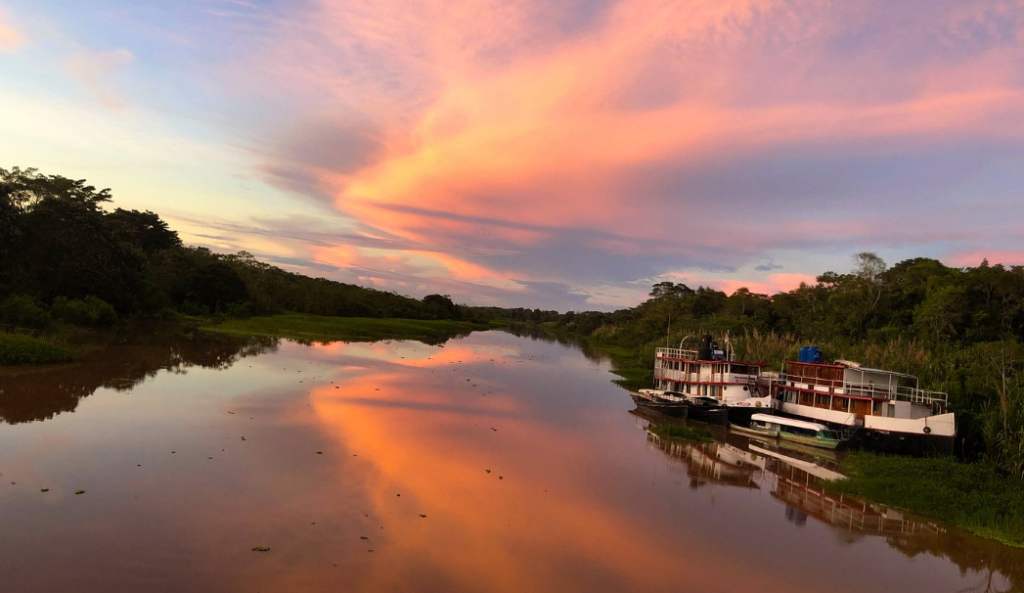
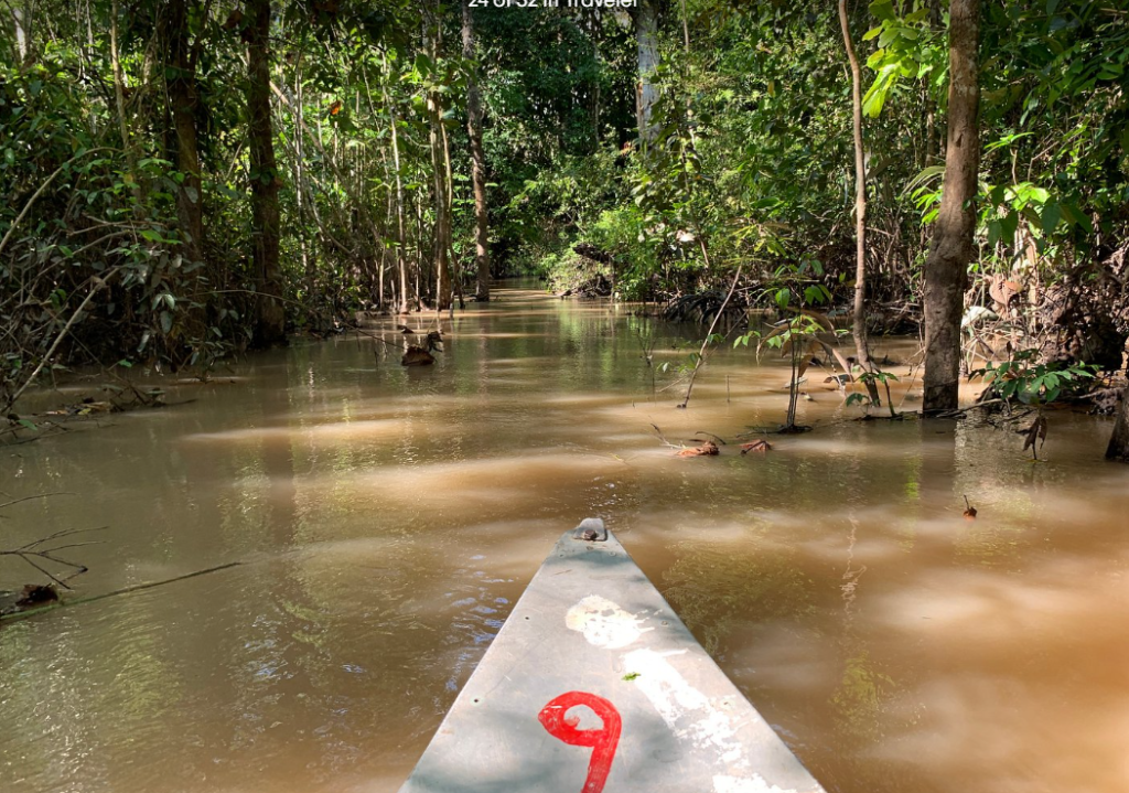
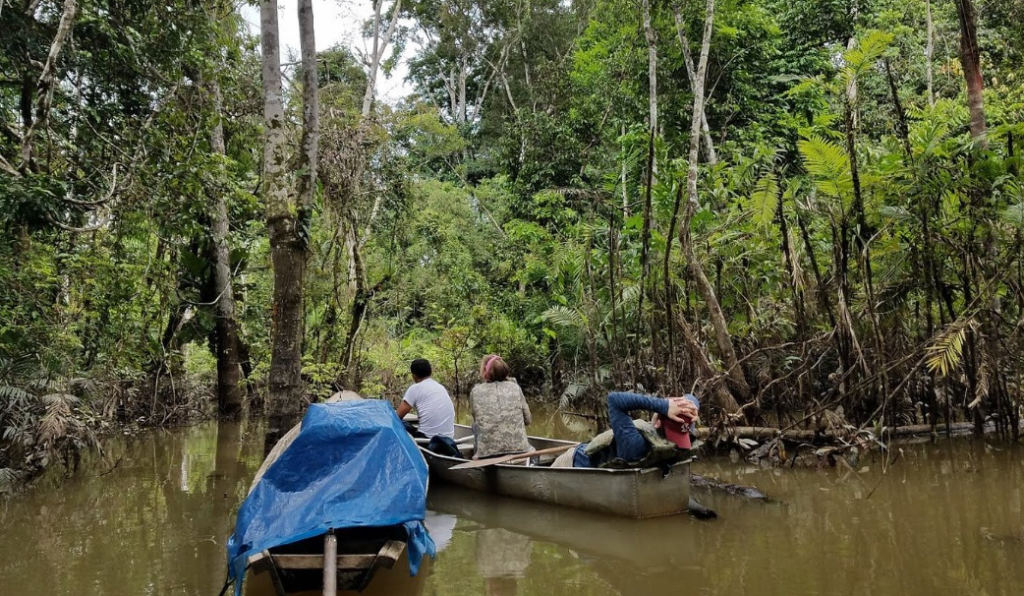
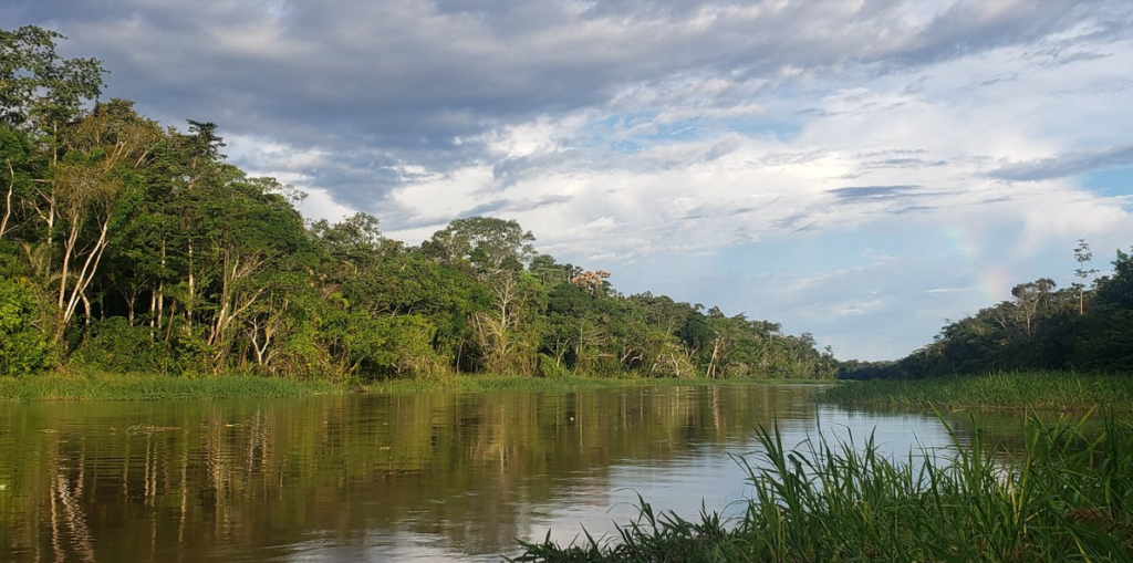
The flooded forest ecosystem of the Yarapa River basin has abundant wilderness and high diversity of animals and plants. These forests are a continuum between the terrestrial and aquatic ecosystems that form a unique and important part of the Amazon. The flooded forest in the study site has land formations with varying levels of annual flooding and wildlife of the Yarapa River lives in an ecosystem that is characterised by large seasonal fluctuations occurring between the high water and low water seasons. The ecology of the aquatic and terrestrial wildlife revolves around these seasonal changes in water level.
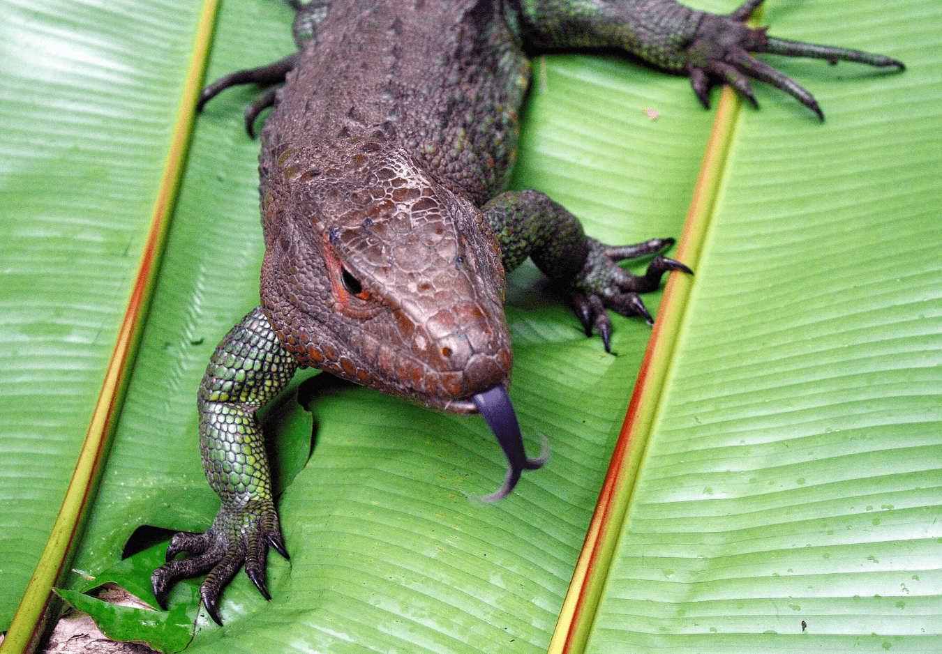
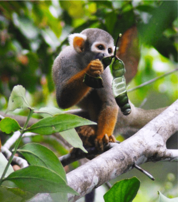
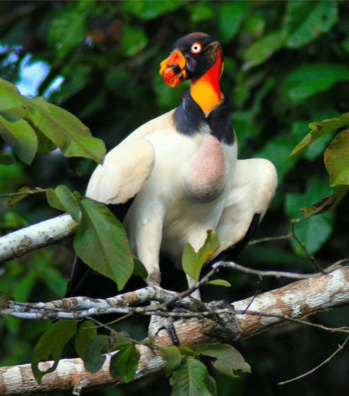
The Yarapa Research Reserve has a very high diversity of vertebrates.
Sustainable resource use and traditional activities are permitted within the reserves, and people rely on small scale agriculture, fishing and hunting as their primary activities for subsistence and market sales
The climate in the region is typically equatorial with annual temperatures ranging from 22◦C–36◦C, a relative humidity of 80%–100%, and annual rainfall of 1,500–3,000 mm. We used water level data from the hydrological station of Iquitos collected by the Servicio de Hidrografía y Navegación de la Amazoníathat provided long-term data with complete daily records between 1978-2015 and partial records between 1968-1977in the proximity of the study area. Water levels from the Servicio de Hidrografía agreed with trends and pulses of previous studies that used different data sets. Duration of intensive floods included consecutive days when water level exceeded 117.65 m.a.s.l.
The study site and surrounding areas have a predictable annual water level cycle that includes the high-water season from February-May, a transitional period to low water from June-July, a low water season from August-October and a transitional period to high water in November-January. The percentage of dry land remaining during peak flood pulsewas determined using the height of water marks of trees in twenty 20×20 m vegetation plots.
The principal habitat types of the Peruvian Amazon are a result of large-scale geological changes that occurred during the tertiary and quaternary periods. The Yarapa River basin is in a geological depression and characterized by soft alluvial soils.
The study site is situated near the confluence of the two largest tributaries to the Amazon in Peru, the Ucayali and Maranon Rivers. The meeting of these two rivers come together to form the Amazonas River. The Ucayali and Maranon Rivers have snaked back and forth across the flooded forests over the millennia leaving behind an abundance of oxbow lakes, channels, levees, and other geological features.
The soils of the flooded forests in the study site are rich in nutrients due to the white-water rivers of the Ucayali and Maranon flowing through the forests and depositing sediments during the high-water period. The flooded forests are characterised by a blackish colour during high water. This is a result of the white water from the Amazon entering the flooded forests, depositing the sediments as the currents slow during their movement through the forests, and the water picking up tannins from the leaf litter.
Whilst the soil of these várzea forests is rich, the ecological conditions of long periods of flooding, up to 6 months, is very harsh on much of the floral and faunal community. Many plant species cannot withstand the long periods of inundation and the diversity of plants in the heavily flooded areas is lower than lightly and non-flooded levees.
.
Terrestrial Wildlife
The terrestrial wildlife must seek out floodplain islands or levees during the high-water season, which have increased competition and predation pressures. Even the arboreal wildlife is impacted by the flooding, since many of the fruit trees are quite seasonal in the várzea forests, resulting in seasons with low food production.
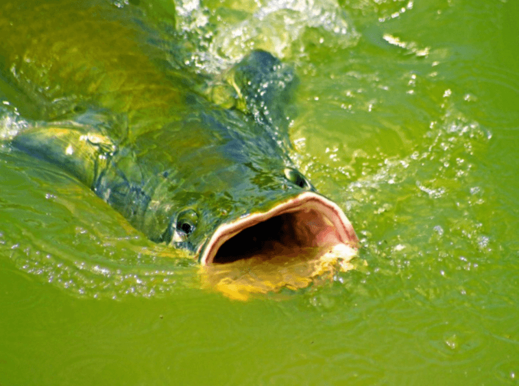
The aquatic wildlife is equally affected by the large seasonal inundations. During the flooded periods the fish enter the flooded forests and feed on the abundance of vegetative and animal production, especially the abundance of fruits, invertebrates and other living organisms trapped in the annual floods. Indeed, many trees fruit during this season and rely on the fish as their primary means of seed dispersal. During the flooded period many fish populations reproduce within the inundated forests. When the waters recede during the dry months, fish populations become condensed in the reduced lakes, rivers and channels with ever increasing competition and predation. During this period many fish populations migrate out of the várzearivers and into the larger rivers. The dolphins and other fish predators have an abundance of prey during the low water season and even follow the fish migrations down the rivers and channels.
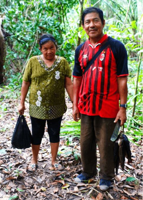
The people who live in the flooded forests also have adapted to the seasonal fluctuations in both the use of the natural resources and their agriculture. During the high-water season fishing is more difficult, since the fish are dispersed throughout the inundated forests. However, during this period hunting becomes easier with the large bushmeat species, such as deer, peccaries and tapir being trapped on the levees and islands. In contrast, during the low water season the bush meat species become difficult to hunt as they range throughout the entire forests, and the fish become easy prey being trapped in the reduced water bodies of the lakes, channels and rivers. The local indigenous people of the floodplain forests alter their hunting and fishing accordingly, with a greater emphasis on hunting during the high-water season and a greater focus on fishing during the low water season.
The agriculture of people inhabiting the flooded forests takes advantage of the rich soils from the annual deposits of sediments and the short growing period that needs to be harvested before the floods return. Traditionally, people of the flooded forests have relied on the manioc as their staple agricultural product. Manioc has a short growing period that can be planted and harvested within the low water season. Manioc flour (fariña) is produced by baking pounded. Manioc flour can be stored throughout the year and supply carbohydrates to the people during the flooded periods.
.
Map
.
.
.
.
.
.
.
.
.
.